Frequently Asked Questions (FAQs)
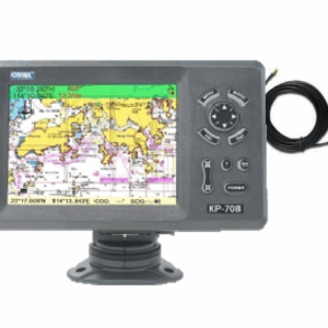
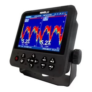
1. What is a GPS ChartPlotter?
A GPS ChartPlotter is a navigation device that combines GPS positioning with electronic charts to provide accurate vessel location and route planning.
2. How does a GPS ChartPlotter improve navigation?
By integrating real-time GPS data with detailed charts, it helps captains plot courses, avoid hazards, and monitor vessel movement precisely.
3. Can GPS ChartPlotters be integrated with other marine systems?
Yes, they can connect with AIS, Radar, autopilot, and other bridge systems for comprehensive navigation management.
4. How often should GPS ChartPlotter software be updated?
Software and chart updates should be performed regularly, typically annually or when new charts become available.
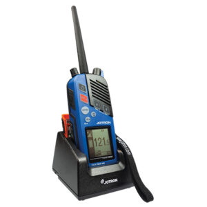
5. Do you provide installation services for all GPS ChartPlotter brands?
Yes, we support and install all major brands including Garmin, Furuno, and Raymarine.
6. Can you repair GPS ChartPlotter faults?
Our technicians are trained to diagnose and repair both hardware and software issues.
7. Are your GPS ChartPlotter services compliant with marine regulations?
Yes, all installations and maintenance comply with IMO, SOLAS, and class society standards.
8. Is remote support available?
Yes, we offer remote diagnostics and troubleshooting to minimize vessel downtime.
9. What features do GPS ChartPlotters typically include?
Features include route planning, waypoint management, real-time position updates, and multi-system integration.
10. How can I request a GPS ChartPlotter service?
Email us at service@ftron.net for inquiries, quotes, or urgent support.